IT Consulting

Our consulting service is depending on the customer needs project based or time based. Either way we consult our customers for the following needs:
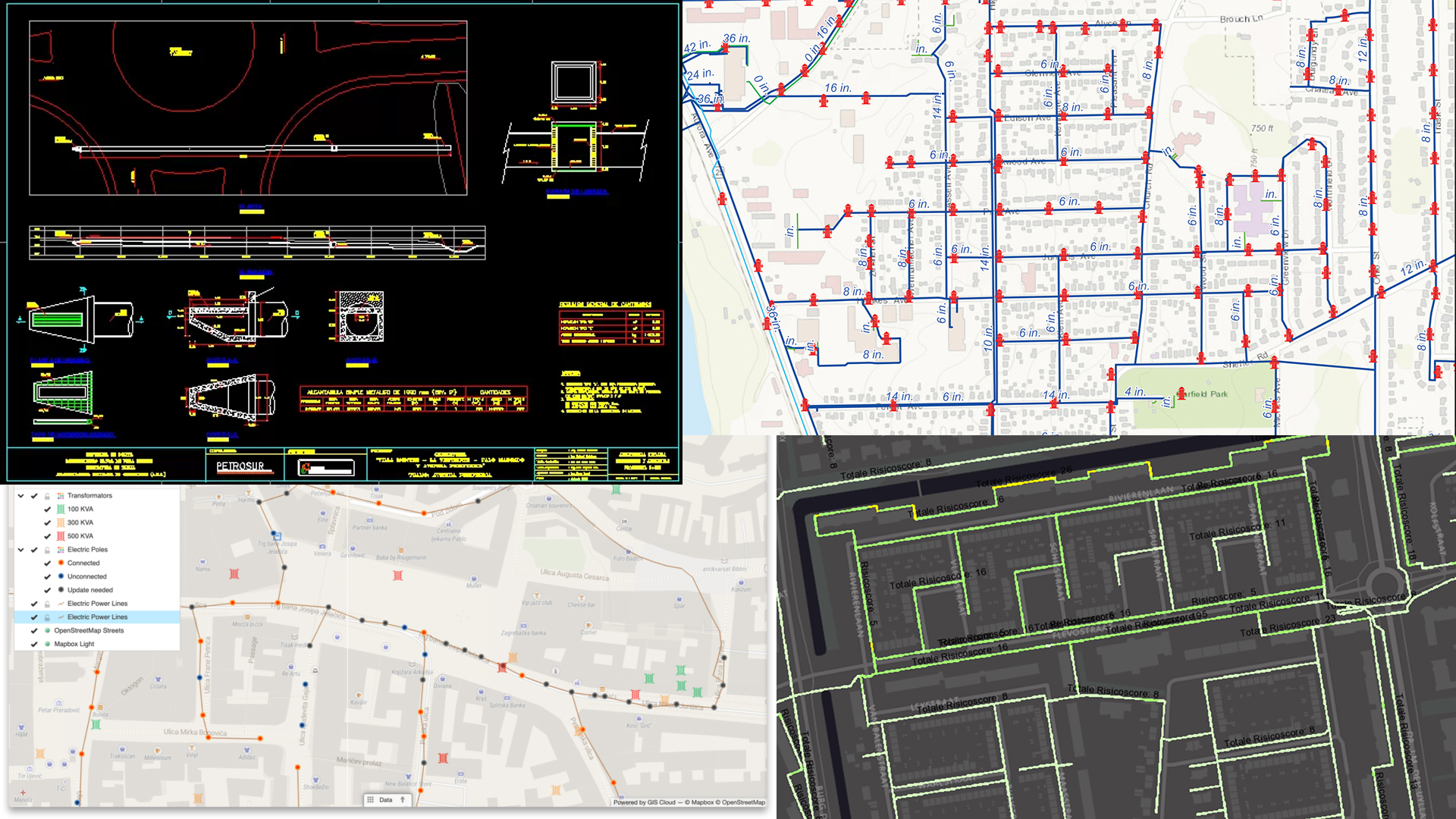
Software
  • CAD programs.
  • GIS applications and solutions.
  • Hardware
  • Networking.
  • Storage, Backup & Recovery.
  • Crisis Management.
  • Server Management / Virtual server management.
  • Security – inside the company.
  • Security – breach / attack / digital theft / hacking / vulnerability.
  • Analogue to Digital Conversion

    Do you have a bulk of analogue drawings which are important for you? We offer with competitive prices our service for converting the analogue drawings to digital drawings. We digitize conform the rules or needs of our clients.

  • Time saving
  • Cost saving
  • Easy communication
  • Your rules are our rules
  • Can be done in different CAD programs.
  • Free of charge Pilot offer.
  • Sketch to CAD Conversion

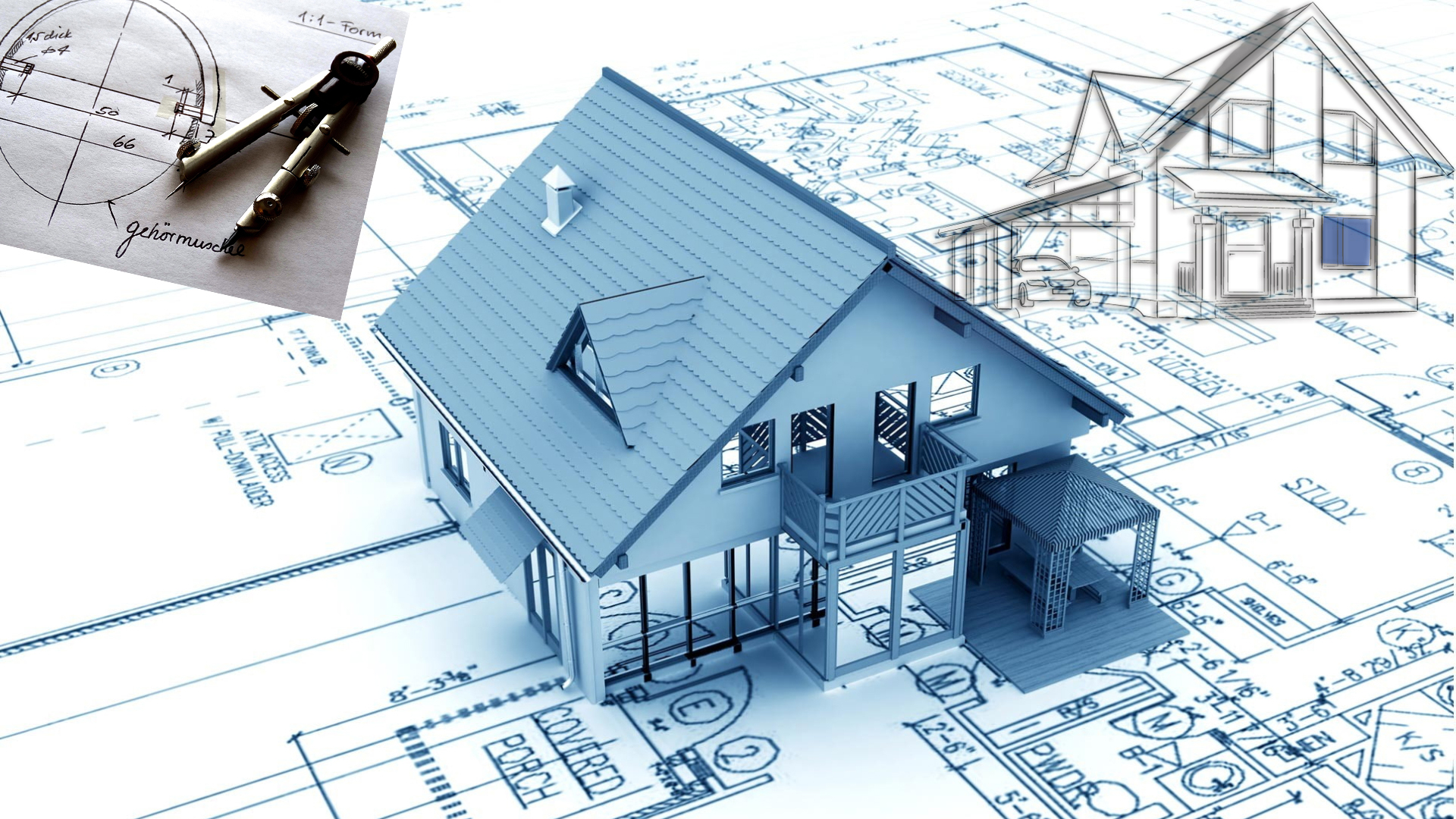
    Employees on the field doesn’t have much time to draw in detail, so they make sketches.We provide a fully digitized drawing when customers deliver their sketches and tell us in what format they want to have it.

  • Time saving
  • Cost saving
  • Easy communication
  • Your rules are our rules
  • Can be done in different CAD programs.
  • Free of charge Pilot offer.
  • Lidar

  • Lidar generates instantaneous, massive amounts of measurements, and can be accurate to a centimeter
  • Lidar data can be easily converted into 3D maps to interpret the environment
  • Lidar is unaffected by ambient light variations, and performs well in low any light conditions
  • Lidar data are direct distance measurements that don’t need to be deciphered or interpreted– thus enabling faster performance and reducing processing requirement.
  • Data can be collected quickly with very high accuracy.
  • Surface data has a higher sample density. The high sample density improves results for certain applications such as floodplain delineation.
  • Collect elevation data in a dense forest, where photogrammetry fails to reveal the accurate terrain surface due to dense canopy cover.
  • Lidar uses an active illumination sensor and can be collected day or night when compared to traditional photogrammetric techniques.
  • Lidar does not have any geometric distortions like a side-looking radar.
  • Lidar can be integrated with other data sources.
  • Mobile Mapping

    Road
    Automates your inspection workflow.
    Brings safety to inspection process.
    Optimizes maintenance works by having better insight of local conditions.

    Rail
    Automates your inspection workflow.
    Better maintenance process through visual reports.
    Safe, fast and repetitive inspection method.

    Airport
    Minimizes out of order time of runways.
    Safe and complete inspection method.
    Flexible and easy to interrupt capturing process.

    Industry
    Prevent failures of precious electrical systems.
    Prevent the chance of potential energy waste.
    Convince stakeholders with clear and visual reports.

    Infrastructure Drawings

    Our attention-to-detail and range of services set us apart from many of our competitors in the world in the area of Infrastructure drawing.

  • Feature based.
  • Fast respond time.
  • Train to train method possibility.
  • Online training possibility.
  • Database storage.
  • Can be done in different CAD programs.
  • Free of charge Pilot offer.
  • Cad Drawings

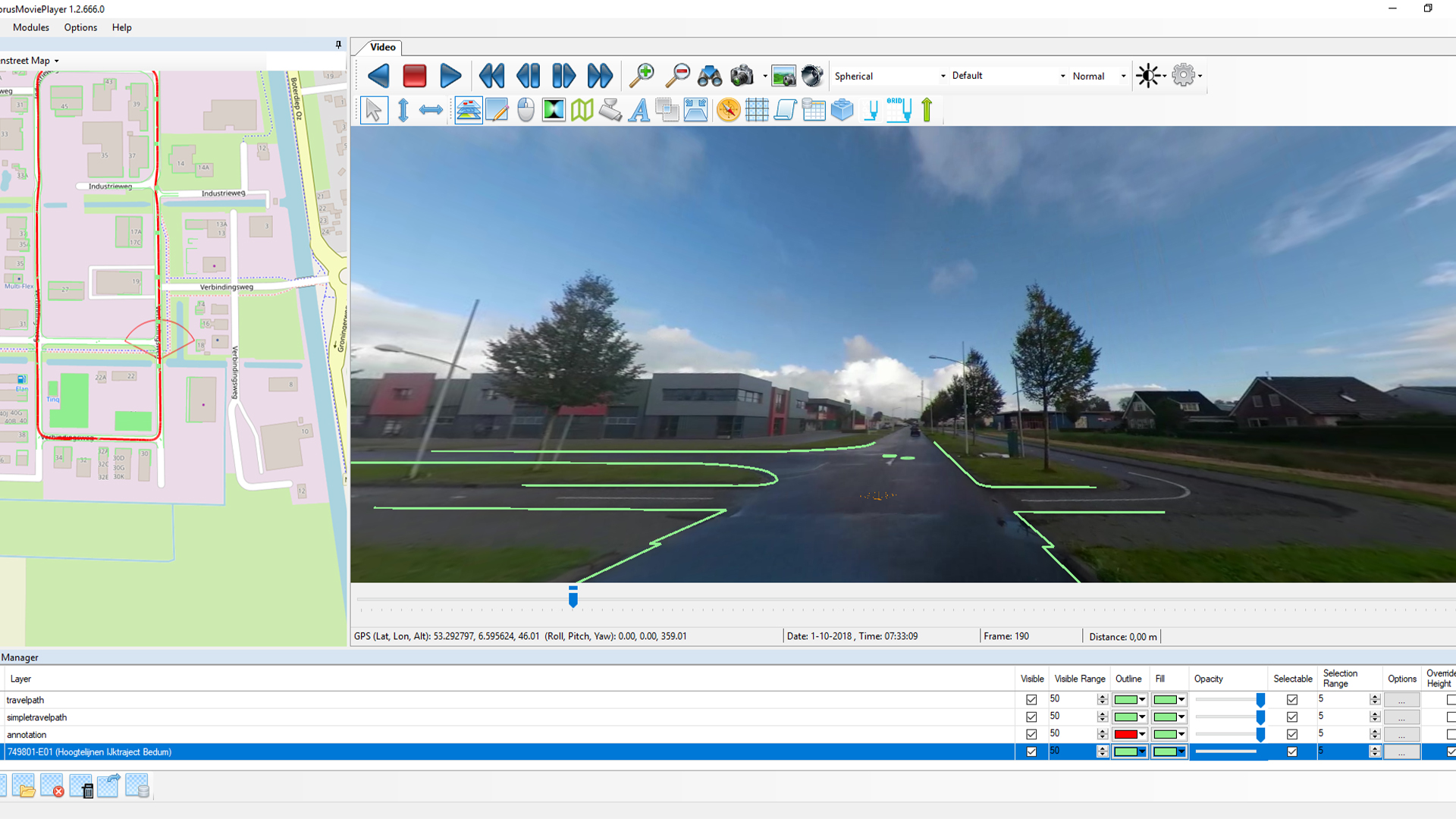
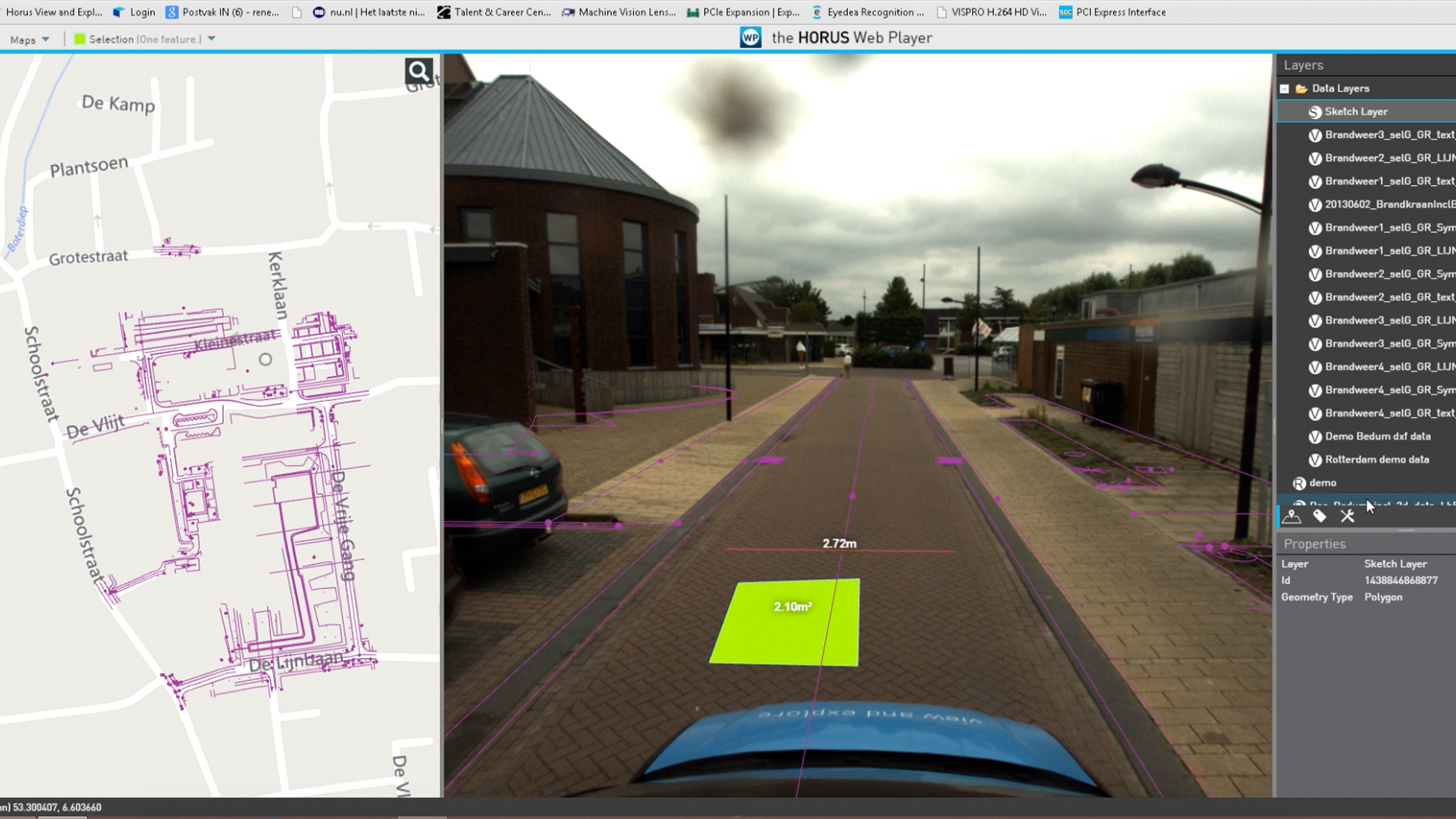
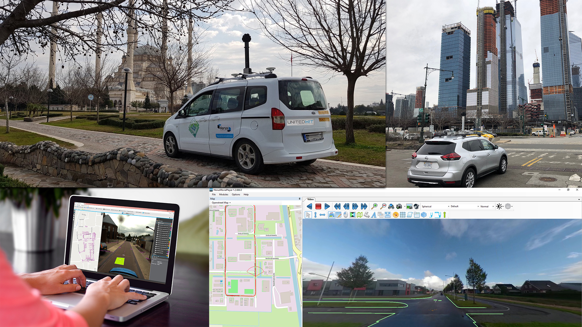
    Our high-speed internet connectivity and vast resource poll brings off-shore companies within practical reach and makes international communication a reality. Our drawers can work as our customers drawers over the internet on customers servers.

  • Low-cost labor.
  • Train to train method possibility.
  • Online training possibility.
  • Fast respond time.
  • Time efficient.
  • Free of charge Pilot offer.
  • 3D Drawings

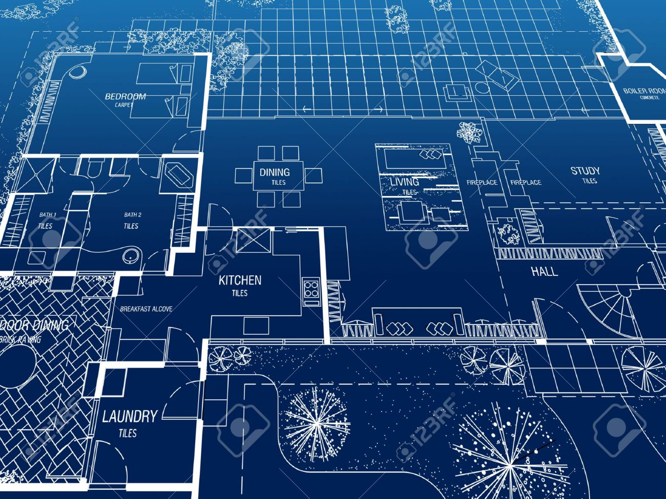
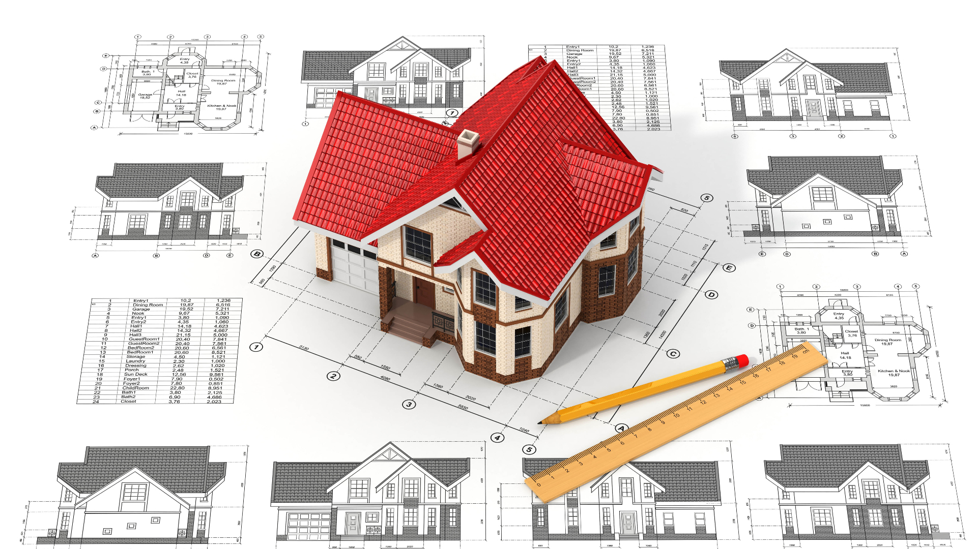
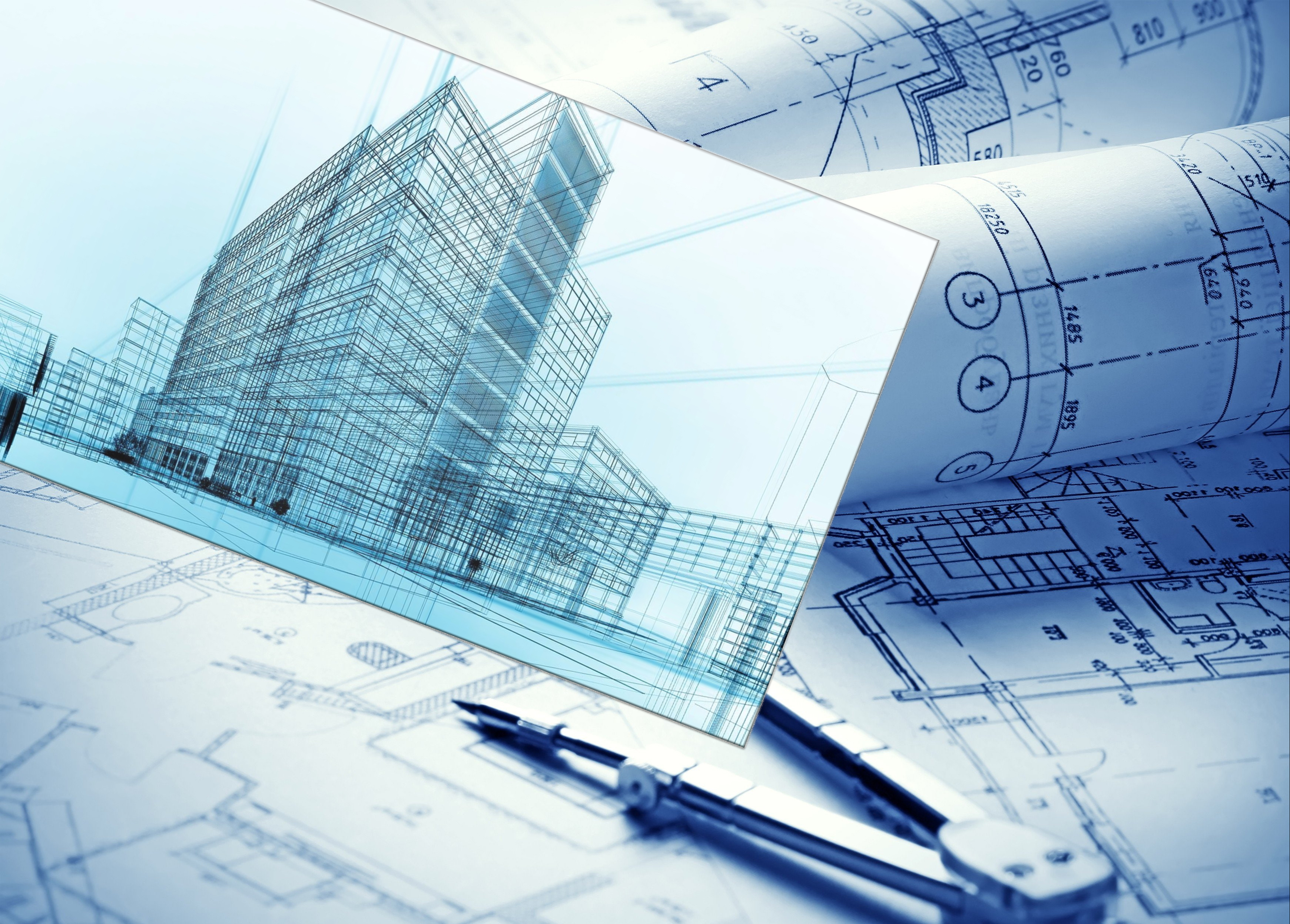
    We can provide 3D drawings in a variety of formats to suit our customer’s needs. At Unitedwit we offer offering unparalleled standards of flexibility and service.

  • Low-cost labor.
  • Train to train method possibility.
  • Online training possibility.
  • Fast respond time.
  • Time efficient.
  • Free of charge Pilot offer.
  • GIS

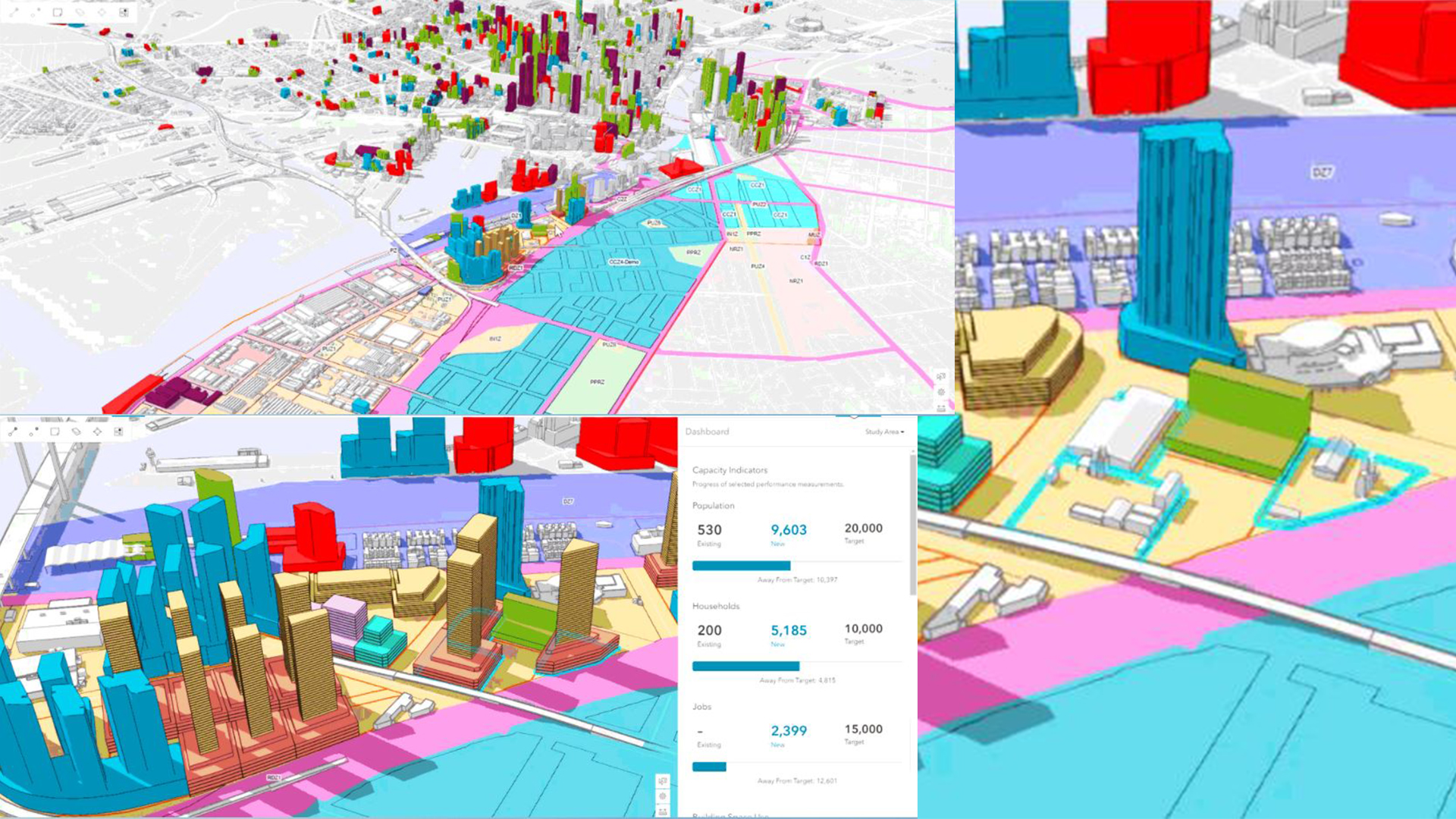
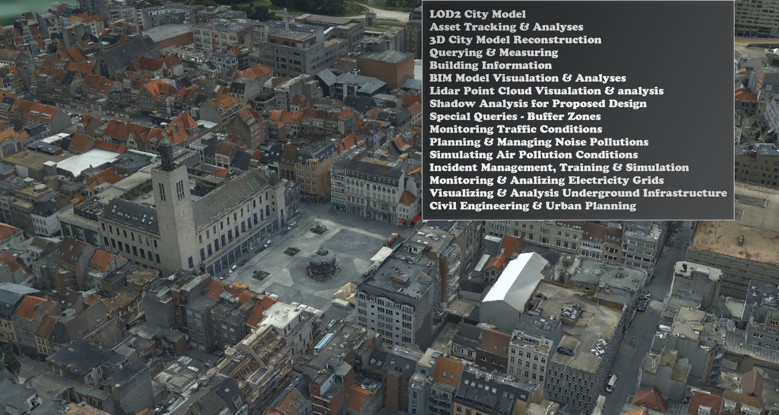
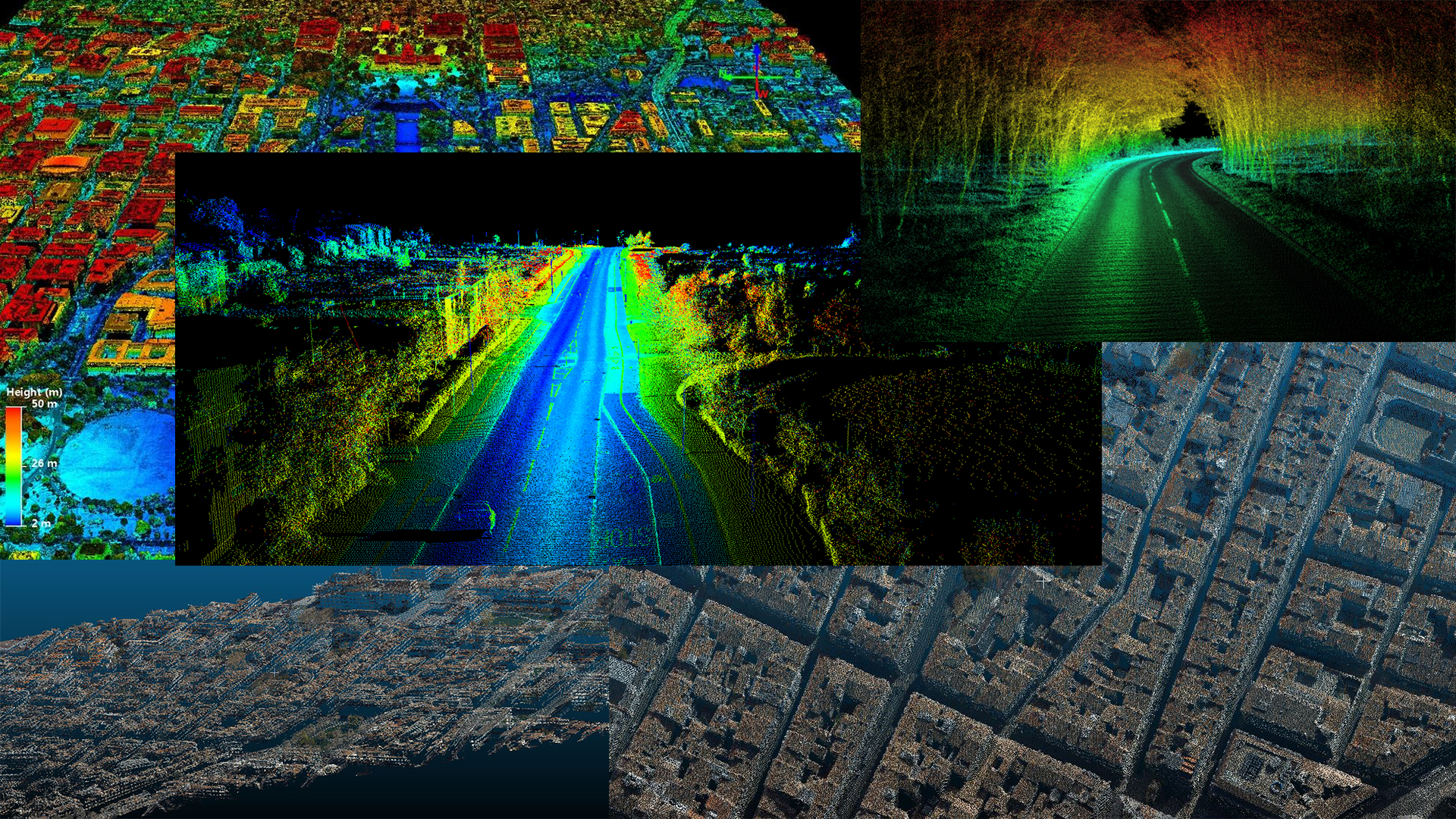
    Unitedwit is renowned for its GIS services including collecting / capturing data, asset management, drafting, digitizing, store, viewing, classifying, data cleansing and quality control.