

Aviagis uses geospatial technology to create and manage information about location. In the strictest sense, the term describes any information system that integrates, stores, edits, analyzes, shares, and displays geographic information.
Aviagis allows users to create entertaining issues (user created searches), evaluate spatial details, modify information, maps, and existing the outcomes of all these functions. Location is important – even today, when so much company is transacted in an exclusive environment, the company of sources, clients, or prospects can’t be ignored.
Aviagis provides the capability to evaluate information in regards to its place and imagine the outcomes in quickly recognized maps that considerably improve the value and utility of that details.
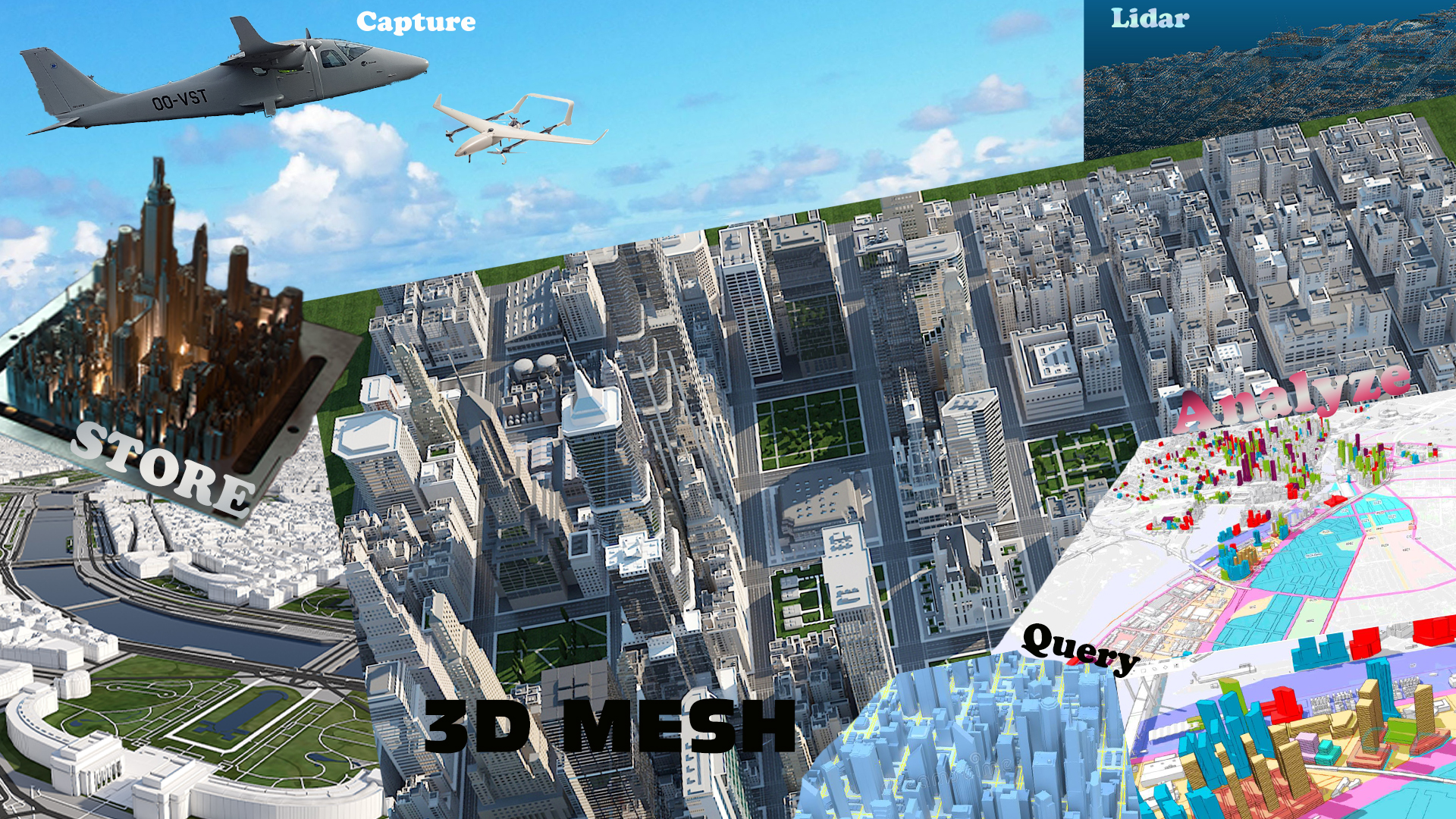
Aviagis provides a single remedy that functions a number of different jobs at once, and brings together the outcomes to turn information from many sources into efficient, workable details.
Aviagis technology brings together typical data source functions such as question and mathematical research with the unique creation and regional research advantages offered by maps and 3D Meshes.
Aviagis technology combines visualization with collected data and analyzes. These capabilities can used for governmental (municipality or governmental ministries) projects to make the best decisions or plans upon collected data, information and the most recent situation of the area or location.
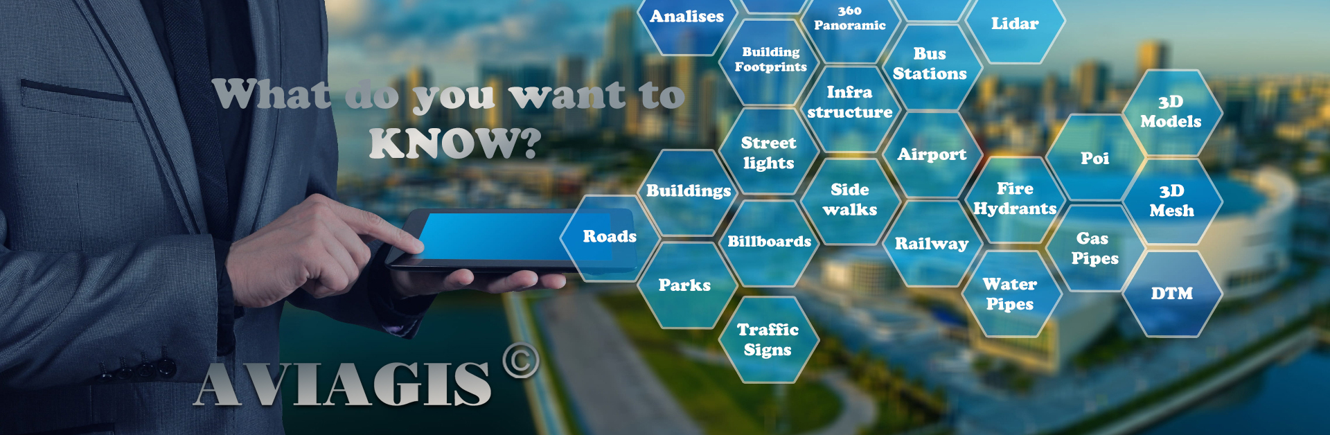
Either its under or above the ground, all available information can be visualized and integrated into one system, queries and analyzes gives customers the power to know their area in the smallest details.


.png)